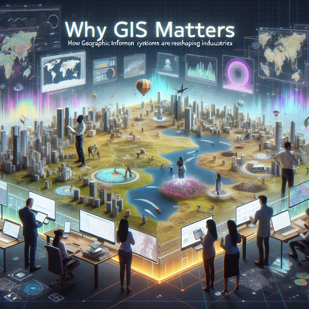
Geographic Information Systems (GIS) have become an integral tool in various industries, reshaping the way businesses operate and make decisions. GIS allows for the visualization, analysis, and interpretation of data in a geographic context, providing valuable insights that can drive strategic planning and decision-making. From urban planning to natural resource management, GIS is playing a crucial role in transforming industries.
GIS matters because it enables businesses to better understand their surroundings and make informed decisions based on spatial data. For example, in the retail industry, GIS can help companies analyze customer demographics and purchasing patterns to optimize store locations and marketing strategies. By overlaying demographic data on a map, businesses can identify target markets and potential locations for expansion, ultimately leading to increased sales and profitability.
In the transportation and logistics sector, GIS is used to optimize route planning and fleet management. By analyzing traffic patterns, road conditions, and weather data, companies can reduce delivery times, minimize fuel consumption, and improve overall efficiency. GIS technology also enables real-time tracking of vehicles, allowing companies to monitor their operations and respond quickly to changing conditions.
In the healthcare industry, GIS is being used to identify and analyze trends in disease outbreaks, healthcare access, and patient demographics. By mapping occurrences of diseases such as COVID-19, healthcare providers can allocate resources more effectively, identify high-risk areas, and implement targeted intervention strategies. GIS is also helping public health officials plan vaccination campaigns, track immunization rates, and monitor the spread of infectious diseases.
In the environmental sector, GIS is essential for managing natural resources, monitoring wildlife populations, and assessing the impact of human activities on ecosystems. By analyzing satellite imagery and spatial data, conservationists can track deforestation, habitat loss, and biodiversity hotspots, helping to inform conservation strategies and protect endangered species. GIS is also being used to predict and assess the impact of natural disasters such as hurricanes, floods, and wildfires, enabling governments and organizations to plan and respond effectively.
In the agriculture industry, GIS is revolutionizing crop management, precision farming, and soil conservation. By analyzing soil data, weather patterns, and crop yields, farmers can optimize irrigation, fertilization, and pesticide use, leading to higher crop productivity and sustainability. GIS technology also enables farmers to create detailed maps of their fields, identify problem areas, and implement targeted strategies to improve crop health and yield.
In the energy sector, GIS is used for site selection, infrastructure planning, and environmental impact assessment. By analyzing terrain, population density, and regulatory constraints, energy companies can identify suitable locations for renewable energy projects such as wind farms and solar arrays. GIS technology also enables companies to assess the environmental impact of their operations, monitor air and water quality, and comply with regulations to minimize negative effects on the environment.
In conclusion, GIS matters because it is transforming industries and revolutionizing the way businesses operate. By providing powerful tools for data visualization, analysis, and interpretation, GIS enables businesses to make informed decisions, optimize operations, and drive strategic growth. From urban planning to natural resource management, GIS is reshaping industries and creating opportunities for innovation and sustainable development. As technology continues to advance, the role of GIS will only become more prominent in shaping the future of businesses and society.