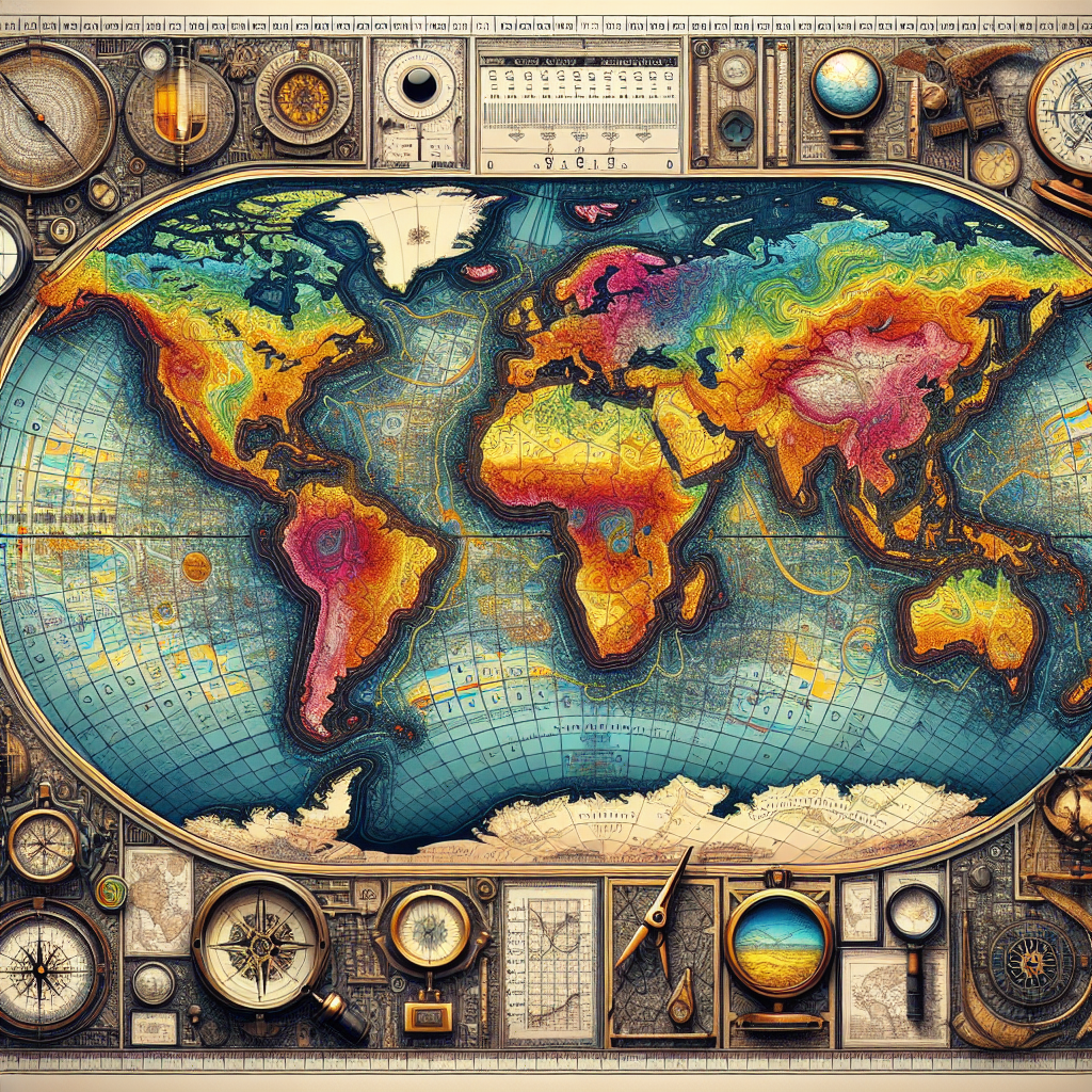
Geospatial analysis is a powerful tool that allows us to explore and understand our world in ways that were once unimaginable. By harnessing the power of geographic information systems (GIS), remote sensing, and data analytics, geospatial analysis provides insights into the complex relationships between human activities and the environment. This multidisciplinary approach enables us to visualize, interpret, and analyze spatial data to make informed decisions and solve real-world problems.
One of the key benefits of geospatial analysis is its ability to provide a comprehensive view of the world. By combining various data sources such as satellite imagery, topographic maps, and demographic information, geospatial analysis can offer a holistic perspective on the interconnectedness of different geographic features and phenomena. This allows researchers, policymakers, and businesses to gain a deeper understanding of the spatial patterns and trends that shape our world.
Geospatial analysis is also instrumental in addressing pressing global challenges such as climate change, natural disasters, and urbanization. By mapping and analyzing environmental data, geospatial analysis can help us predict and mitigate the impacts of climate change, track and respond to natural disasters in real time, and plan sustainable urban development. These applications highlight the importance of geospatial analysis in promoting environmental sustainability and resilience.
Furthermore, geospatial analysis plays a crucial role in promoting social equity and justice. By mapping demographics, infrastructure, and access to resources, geospatial analysis can identify disparities and inequities in society. This information can then be used to develop targeted interventions and policies that address these disparities and promote social inclusion. Geospatial analysis thus serves as a valuable tool for advocating for social justice and empowering marginalized communities.
In addition, geospatial analysis is transforming industries such as agriculture, transportation, and public health. By analyzing soil conditions, weather patterns, and crop yields, farmers can optimize their agricultural practices and increase productivity. In the transportation sector, geospatial analysis is used to optimize routes, reduce congestion, and improve safety. In public health, geospatial analysis is used to track disease outbreaks, monitor the spread of infectious diseases, and plan healthcare services.
As technology continues to advance, the scope and complexity of geospatial analysis are expanding. With the advent of artificial intelligence, machine learning, and big data analytics, geospatial analysis is becoming more sophisticated and powerful. These technologies enable us to process and analyze massive amounts of spatial data quickly and accurately, leading to more precise and insightful results. In the future, geospatial analysis will play an even greater role in shaping our understanding of the world and informing decision-making processes.
In conclusion, geospatial analysis is a vital tool for exploring and understanding the world around us. From environmental conservation to social justice to economic development, geospatial analysis offers valuable insights that can help us address complex challenges and create a more sustainable and equitable world. As we continue to harness the power of geospatial analysis, we will unlock new discoveries, innovations, and opportunities that will shape the future of our planet.