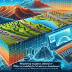
Advancements in technology have revolutionized the way we navigate the world around us. Gone are the days of paper maps and difficult-to-read GPS systems; now, we have access to high-tech tools that make navigating our surroundings easier and more accurate than ever before. One such tool that is gaining popularity in the field of navigation is 3D terrain modeling. This technology allows users to visualize the terrain of an area in three dimensions, providing a more realistic and immersive experience.
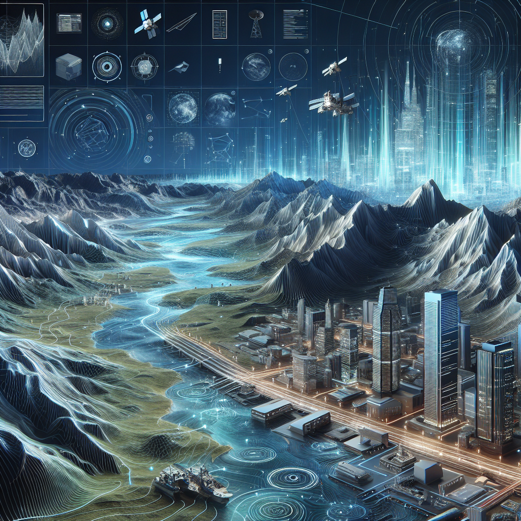
3D terrain modeling is a crucial component in various industries, including urban planning, construction, agriculture, and disaster management. By accurately capturing the topography of a given area in three dimensions, professionals can make informed decisions about land use, infrastructure development, and resource management. This technology provides a comprehensive understanding of the landscape, allowing for better planning and design processes.
One of the current trends in 3D terrain modeling is the use of drones to capture high-resolution topographic data. Drones equipped with specialized sensors and cameras can fly over an area and collect detailed information about the terrain, which is then used to create accurate 3D models. This process is faster and more cost-effective than traditional surveying methods, making it a popular choice for various applications.
Another trend in 3D terrain modeling is the integration of artificial intelligence and machine learning algorithms. These technologies can analyze large amounts of data to identify patterns and trends in the terrain, allowing for more accurate modeling and prediction of potential changes. This capability is particularly useful in disaster management, where quick and accurate assessments of terrain conditions can help in preparedness and response efforts.
Virtual and augmented reality are also playing a significant role in the future of 3D terrain modeling. By combining 3D models with VR or AR technologies, users can explore and interact with the terrain in a more immersive way. This not only aids in better understanding of the landscape but also enhances communication and collaboration among stakeholders in various industries.
The benefits of 3D terrain modeling are numerous. From improved decision-making processes to enhanced visualization capabilities, this technology offers a wide range of advantages for professionals in different fields. By leveraging the latest trends and advancements in 3D terrain modeling, organizations can navigate the future with confidence and precision.
However, there are also challenges to be addressed in the adoption of 3D terrain modeling. Issues such as data security, privacy concerns, and the need for specialized skills and training can pose obstacles to the widespread use of this technology. Overcoming these challenges will require collaboration among industry experts, policymakers, and technology developers to create a framework that supports the responsible and effective use of 3D terrain modeling.
In conclusion, 3D terrain modeling is shaping the future of navigation in various industries. By staying up-to-date with the latest trends and advancements in this technology, professionals can harness its full potential to make informed decisions, improve efficiency, and enhance overall productivity. With the right tools and strategies in place, navigating the future with 3D terrain modeling is not only possible but essential for success in a rapidly evolving digital world.