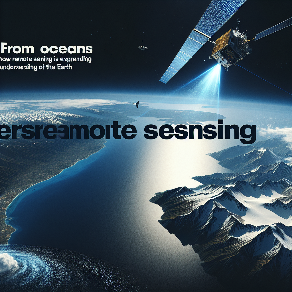
From the depths of the oceans to the peaks of the highest mountains, remote sensing technology is revolutionizing the way we study and understand our planet. Remote sensing is the science of acquiring information about Earth’s surface without actually being on the ground. This technology allows researchers to collect data from inaccessible or dangerous regions, providing valuable insights into environmental processes, land use, and natural disasters.
One of the most significant applications of remote sensing is the study of the world’s oceans. With over 70% of the Earth’s surface covered by water, traditional methods of data collection, such as ship surveys, are limited in their scope and efficiency. By using satellites equipped with radar and infrared sensors, researchers can monitor ocean temperatures, currents, and marine life on a global scale. This information is essential for understanding the impact of climate change on marine ecosystems and predicting future sea level rise.
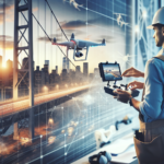
Remote sensing is also transforming our understanding of mountain ecosystems. The rugged terrain and harsh weather conditions of mountainous regions make them difficult to study using conventional methods. By analyzing satellite images and data collected from drones, scientists can map vegetation cover, monitor glacier retreat, and track changes in snowpack levels. This information is crucial for assessing the impact of climate change on mountain ecosystems and water resources.
In addition to environmental research, remote sensing is also being used to study natural disasters and their aftermath. Satellites equipped with thermal sensors can detect wildfires and track their spread in real time, allowing firefighters to better allocate resources and protect communities at risk. Similarly, remote sensing technology can be used to assess the damage caused by earthquakes, hurricanes, and tsunamis, providing valuable information for disaster response and recovery efforts.
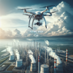
Remote sensing technology is not only expanding our understanding of the Earth’s natural processes but also helping to monitor and manage human activities. Urban planners use satellite images to track urban sprawl, monitor land use changes, and assess the impact of infrastructure projects on the environment. Agricultural researchers use remote sensing data to monitor crop health, predict yields, and optimize water and fertilizer usage. This information is essential for sustainable land management and resource conservation.
As remote sensing technology continues to evolve and improve, its applications are expanding into new frontiers. Researchers are now using drones equipped with high-resolution cameras and LiDAR sensors to study remote and inaccessible regions, such as deep-sea trenches and remote mountain peaks. This technology is providing unprecedented insights into some of the Earth’s most extreme and untouched environments, helping us to better understand and protect our planet’s biodiversity and natural resources.
In conclusion, remote sensing technology is revolutionizing the way we study and understand the Earth, from its oceans to its mountains and everything in between. By providing valuable data on environmental processes, land use, natural disasters, and human activities, remote sensing is helping us to better manage and protect our planet for future generations. As this technology continues to advance, the possibilities for exploration and discovery are limitless, opening up new opportunities for scientific research and conservation efforts on a global scale.